April 19, 2024
Analysis

Limits to watching North Korea from above

Satellite imagery a powerful tool, but one with limitations

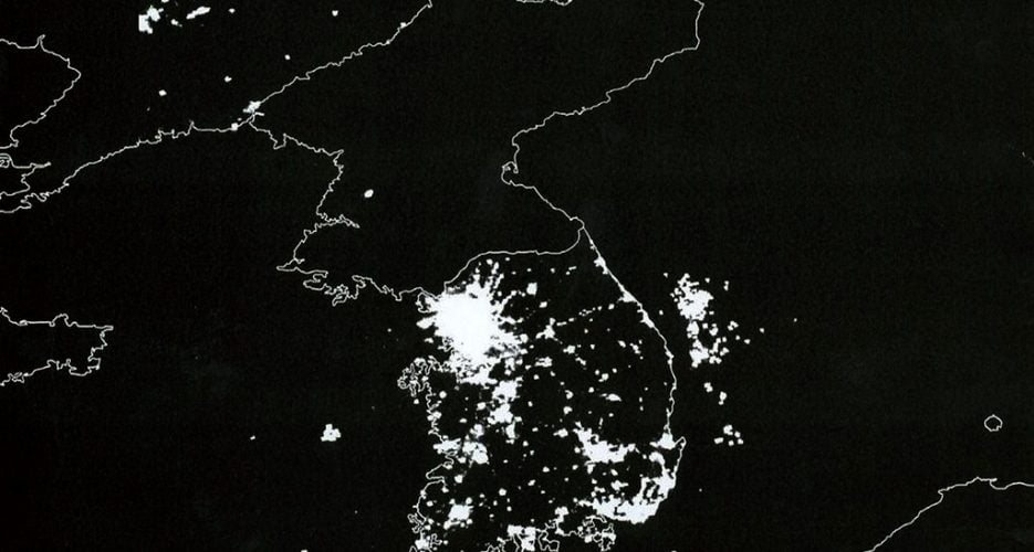
In a country going to great lengths to isolate itself, commercial satellite imagery has become a powerful tool used to monitor activities and developments on the ground in North Korea.

Scholars, analysts and citizen journalists have been able to map extensive parts of the country, identify infrastructure developments, assess food security and monitor behavior at sites of international concern.

Become a member for less than $4 per week.

  • Unlimited access to all of NK News: reporting, investigations, analysis
  • The NK News Daily Update, an email newsletter to keep you in the loop
  • Searchable archive of all content, photo galleries, special columns
  • Contact NK News reporters with tips or requests for reporting
Get unlimited access to all NK News content, including original reporting, investigations, and analyses by our team of DPRK experts.
Subscribe now

All major cards accepted. No commitments – you can cancel any time.