
|
News S. Korean government making detailed maps of North availableCopies can be order in topographical, digital, or satellite image form
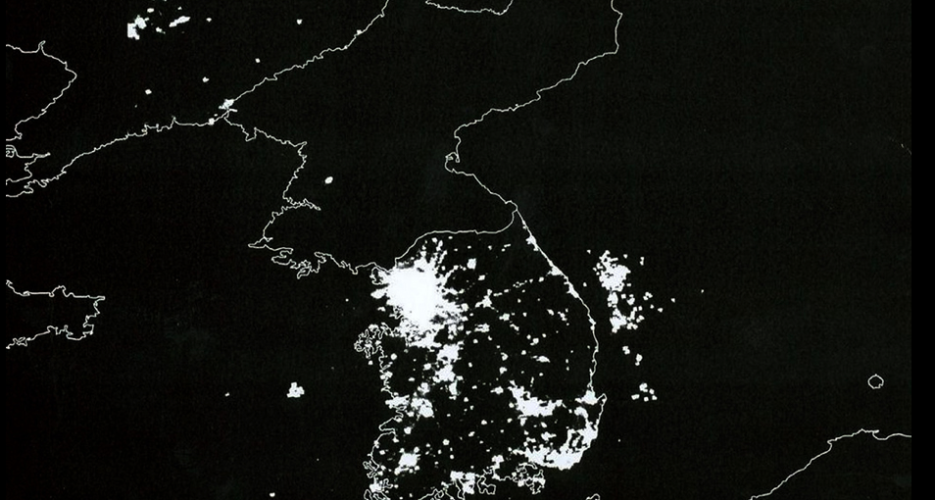 Detailed maps of North Korea compiled by the South Korean government will be publicly available from March 28. South Korea’s National Geographic Information Institute announced on March 27 that it will reveal the maps, previously provided only to other governmental bodies, to the public from today. The maps to be made available to the public will include North Korea’s topographic map, satellite image map and digital map. They were compiled between 2007 and 2009, and viewers will be able to see details of North Korean cities, buildings, railroads and streets when using them. The institute added that it will release © Korea Risk Group. All rights reserved. |

October 12, 2026Oct 12, 2026


 SHARE
SHARE COPY LINK
 X
X MASTODON